Nympsfield, Cotswold Way & Woodchester
On arrival at Nympsfield, we were able to park opposite the Coach and Horses Pub, which is reputed to be the highest inn in the Cotswold’s, and was our intended venue for end of walk refreshments. But more about that later.
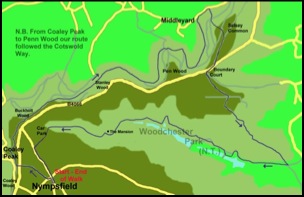
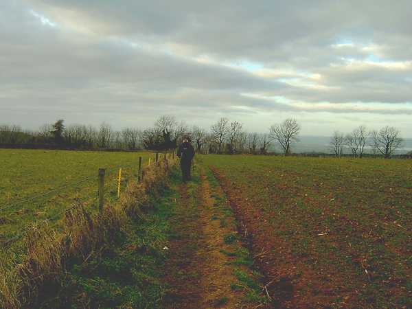
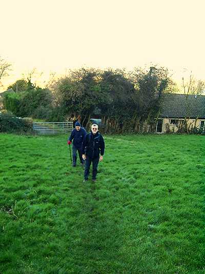
So it was boots on and shortly after 9.30 a.m., we were crossing fields heading in a north westerly direction to meet the Cotswold Way where it “touched” the B4066 at the north end of Coaley Wood.
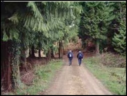
Pictures from Nympsfield to Coaley Peak and the Cotswold Way.
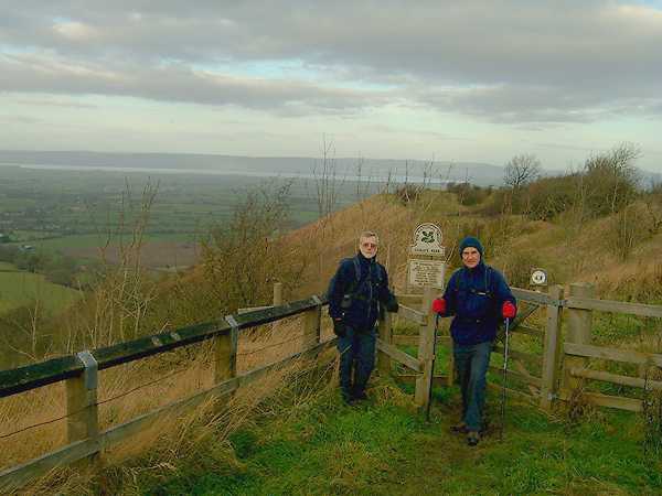
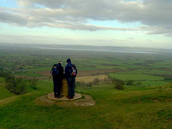
On reaching the Cotswold Way at Coaley Peak, we were impressed by the views from the Peak’s scarp edge that stretched across the Severn Estuary to the Forest of Dean beyond and, with the assistance of a nearby topograph, many other distant points were easily recognised. Usually, on our walks, we start quite low but having today started at over 200 metres above sea level, and having lost no height, the views where immediate. However, on the downside the wind coming from the west was quite cool, so we soon left this exposed location and started northwards and immediately entered the Coaley Peak Country Park.
Although a barrier of trees in the park blocked the views to the west they also helped to stop most of the westerly wind and we immediately felt warmer as we proceeded through the park before following the Cotswold Way into woodland. For the next couple of miles we followed a well-used and obvious path that generally traversed the lower reaches of Buckholt Wood and Stanley Wood before we reached the northern edge of Pen Wood. Here we turned right leaving the Cotswold Way with the intention of taking an ascending path to Selsey Common. However, somewhere along the path we missed another right turn – we were probably in deep meaningful conversation – and soon found ourselves descending into the community of Middleyard.
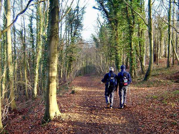
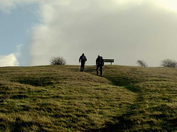
Along the Cotswold Way from Coaley Peak
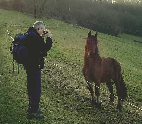
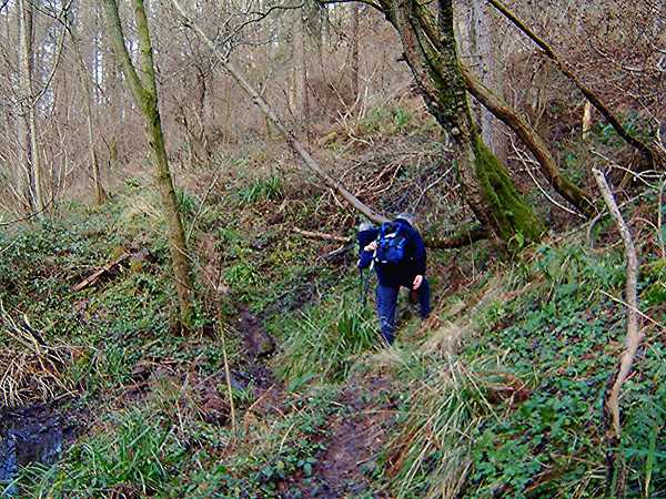
Mick and a friend he met going downhill to Middleyard.
Middleyard seemed a pleasant little village. However, we didn’t admire it for long as this unscheduled visit meant we then had to regain, via another route, all the height we had lost on our descent. So with me in the lead – most unusual – we started uphill to the top of Selsey Common and I was certainly relieved to join my companions, who, having gone past me, had reached a seat conveniently located near the summit. Here, while we enjoyed the view west and refreshments, comments about old people climbing hills, ageing knees and bus passes were endured.
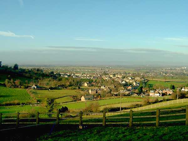
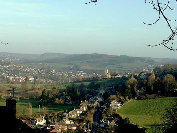
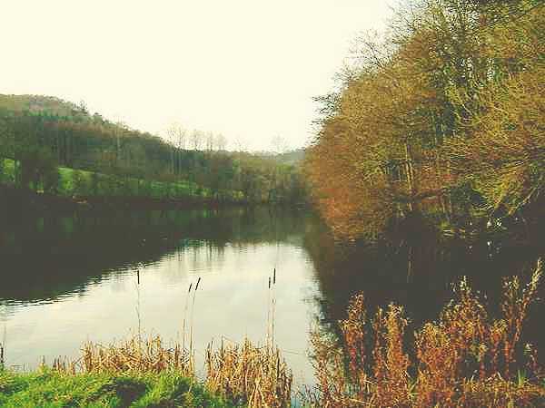
Views on Selsey Common
Break over, we walked across the common and, having crossed the B4066, we took a tarmac track by Boundary Court and followed this south east (signposted Inchbrook). At a junction, we left the tarmac track and followed a field path that went right (south east). Within a minute or so, the path went left into another field and we went the wrong way. We should have followed the field boundary to the left, but I swear the sign directed us to the right across and down the field. On reaching the bottom of the field, and not seeing a path, the map was referred to and we were soon back on the correct route, an easy walk downhill towards Inchbrook. However, we never actually reached Inchbrook as the road/track we reached just outside Inchbrook was at the entrance to Woodchester Park, which was on today’s route. We therefore turned right and entered the park.
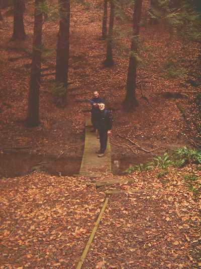
Walking in Woodchester Park.
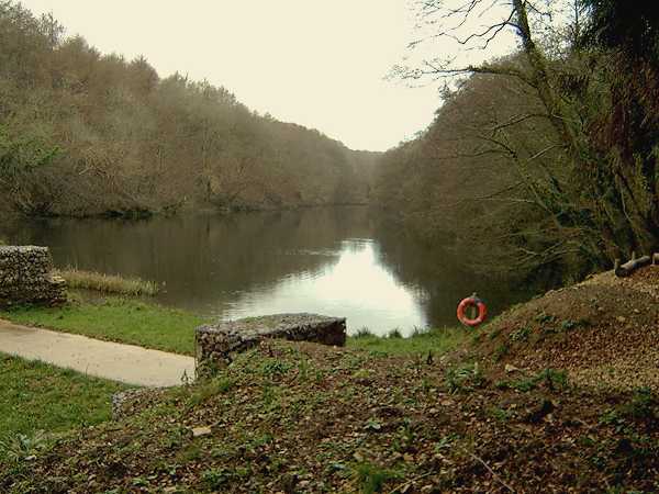
In a nutshell, the park is in a valley covered with trees with a string of five lakes running through it. As we started at the eastern end of the park our route was uphill and initially we followed the track on the north side of the first lake, but by the time we got to the second lake Peter had found a muddy route closer to the water, which he thought we should enjoy, or was that endure. The amazing thing was, nobody landed on their back or lower part of their anatomy from sliding and skidding through this morass of vegetation and mud. However, Peter enjoyed it. It gave him the opportunity to get is trousers really muddy. I bet when he was young he loved playing in puddles. He probably still does.
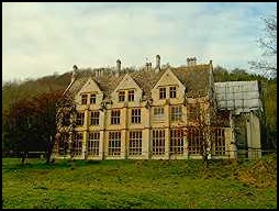
We continued on past the fourth and fifth lakes as we approached Woodchester Mansion which is currently having major building work undertaken. It certainly looks an impressive building and, when it is completed, it should look magnificent. In fact the best it’s ever looked as, although its construction was started in the mid 1800s, it was never actually completed. (I note that the work has now been completed - October 2008)
Mick and Peter walking along the wooded track to Woodchester Park Mansion
It was about here, as we walked to the car park entrance at the top (west) end of the park that we discussed modes of walking. There is no doubt that Peter is a mucky walker. Every time we go for a walk, his trousers get really splattered. Although Larry wasn’t with us, it was commented that even on photographs Larry generally looks as if he is lolloping. No comment was made about Mick’s or my walking style. However, I don’t think either of us ever get our trousers as mud splattered as Peter’s, unless of course we have the misfortune to walk close behind him.
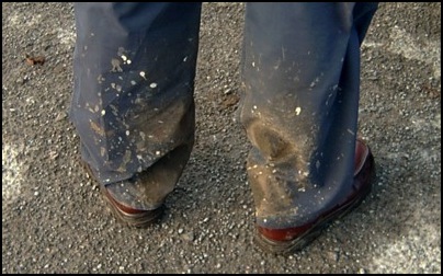
Peter’s Muddy Trousers
At the car park, we took a track to the main road, turned left and a quarter of a mile later we were back in Nympsfield, and were soon in the Coach and Horses, which we left about 10 minutes later. Although the pub was busy with three staff behind the bar, service should not have been as slow as it was. It was almost non-existent. I suppose the problem was that priorities were not considered and other matters were seen as being more important than serving the customers. So we left and made our way to the Hungry Horse at Seven Springs. Although the pub’s beers do not include Uley Bitter or any other really tasty tipple, the Greene King IPA was very acceptable. However, the service is good and the food is excellent and very good value, and, although we were informed that the kitchen was very busy and a 45-minute wait was likely, we were eating within half an hour. A satisfactory end to a very pleasant day.
Peter and I estimated the total distance walked was about 10 miles, and if you fancy doing it, the map recommended is the Ordnance Survey Explorer Map 168, which covers the area of Stroud, Tetbury & Malmesbury.