Cancer Research UK Walk - 23rd May 2009
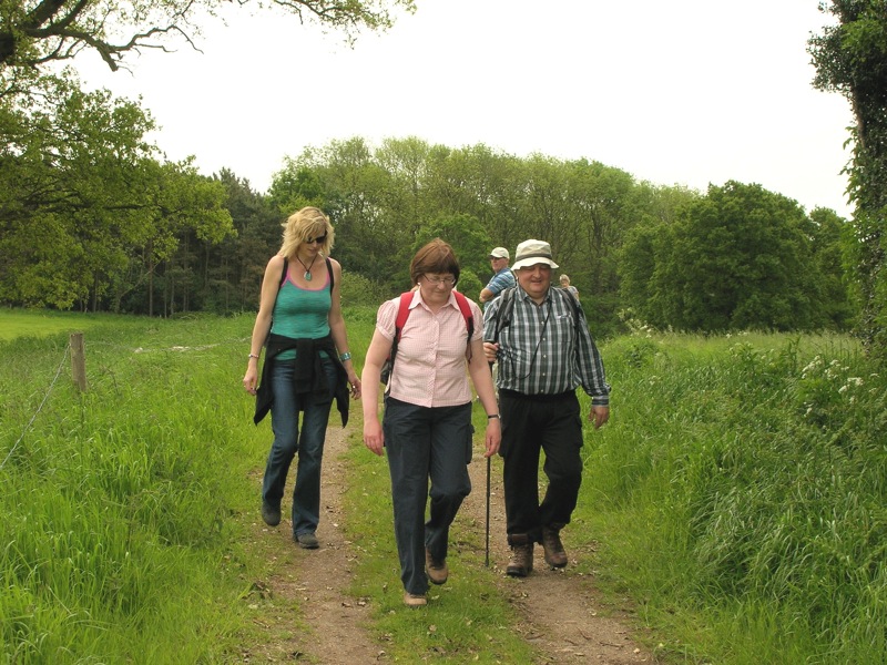
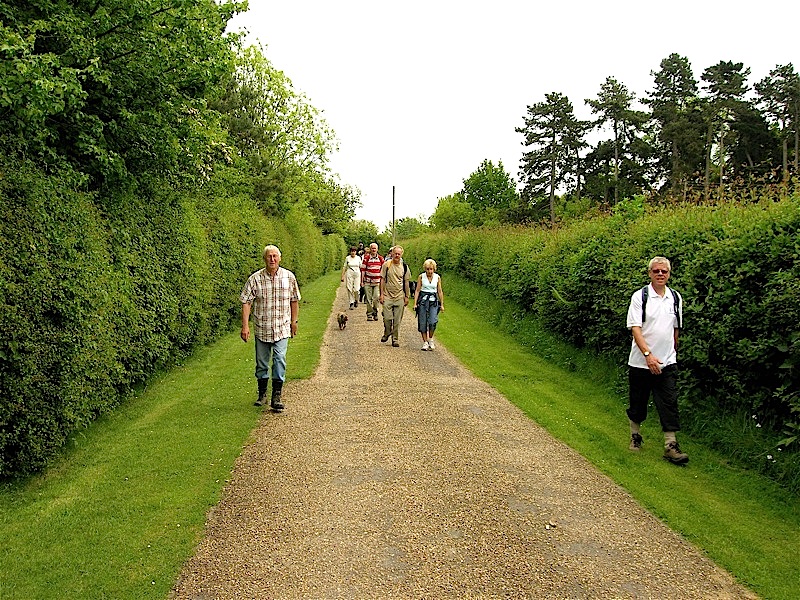
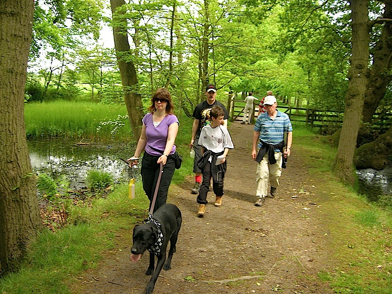
As this year’s walk was a week later than in 2008 it clashed with the Spring Bank Holiday. This regrettably resulted in a reduction in the number of people able to participate. However, as the previous Saturday had almost none stop rainfall, all those taking part were very happy with the date selected as it turned out to be the best day of the year so far with almost continuous sunshine and no need for fleeces or rainwear.
The morning and afternoon routes were 6.75 and 5.5 miles long respectfully so the total distance was a fraction of a mile shorter than last year’s hike.
The route details (in black) are below interspersed with pictures and comments.
To go straight to the afternoon walk click here
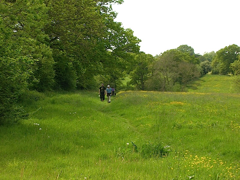
Morning route visiting Grand Union Canal, Lowsonford,
Bushwood, and the Stratford on Avon Canal
Approximate Distance – 6.75 miles.
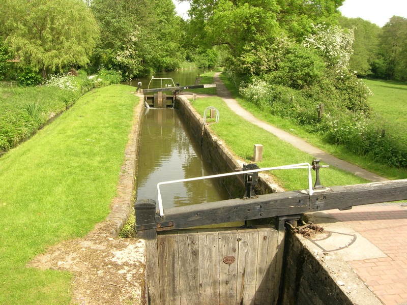
1. Leave Lapworth Village Hall and follow the road right, towards the canal. Before reaching the canal turn right into Brome Hall Lane and immediately cross the road and go through car parking area to the canal (Kingswood Junction Canal Basin) and turn right.
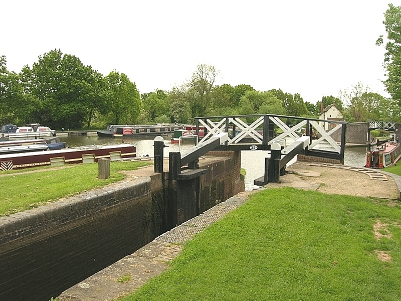
2. Cross the footbridge over the canal and continue alongside the basin to a second footbridge; cross this and turn left along the canal (This is the link canal between the Stratford on Avon and Grand Union Waterways.)
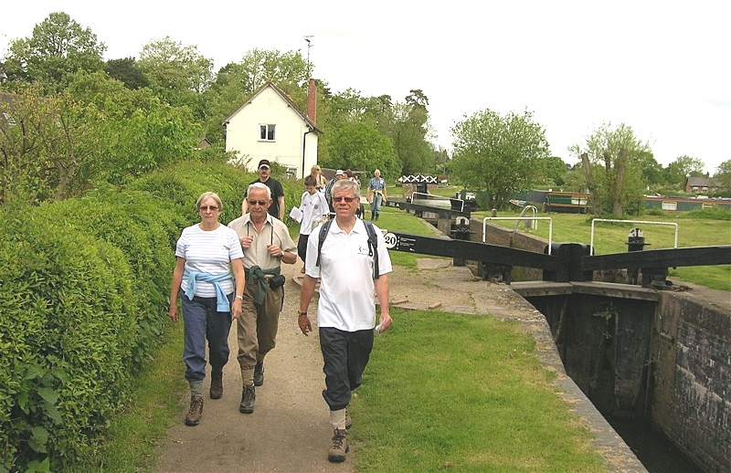
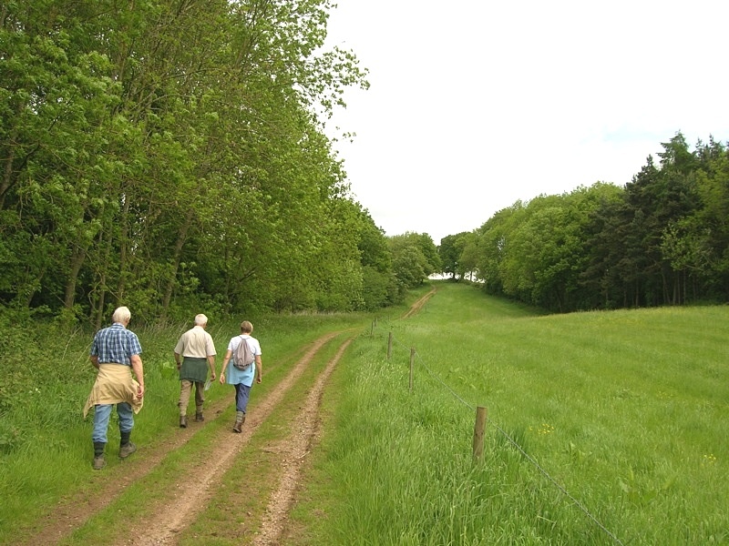
3. Follow the canal under the railway bridge to the junction with the Grand Union Canal - do not cross bridge - but turn right along tow path (signposted Warwick).

4. Follow the tow path past Tom O' the Wood Public House (bridge 63) and continue until the next bridge (no 62) is reached.

5. Leave canal and turn right (away from bridge) and immediately right onto Heart of England Way. (Path is parallel to the part of canal tow path that you will have just walked but at a higher level)
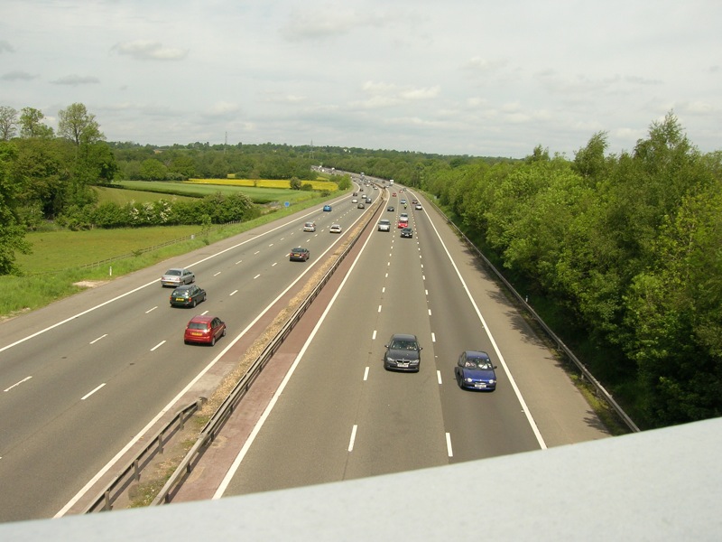
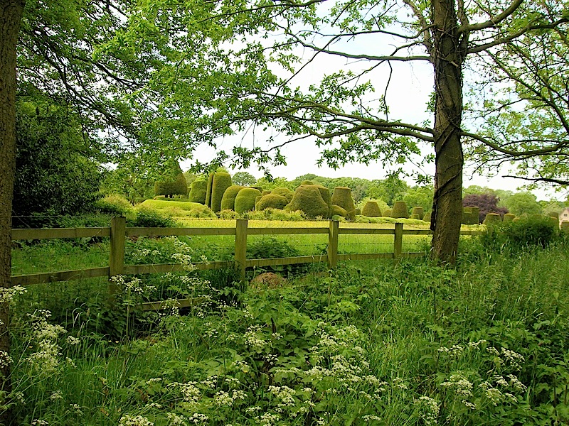
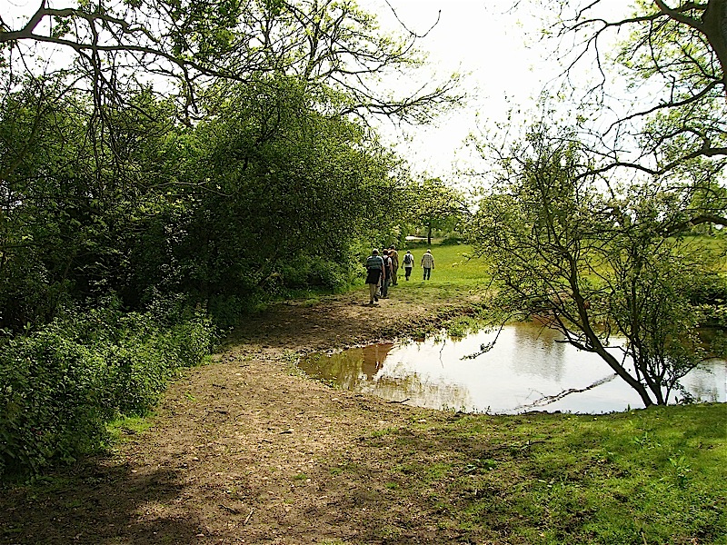
6. Continue to follow path which bends to left and goes to left of a pond. At red brick building the route goes right, parallel to railway line and motorway, before reaching road.

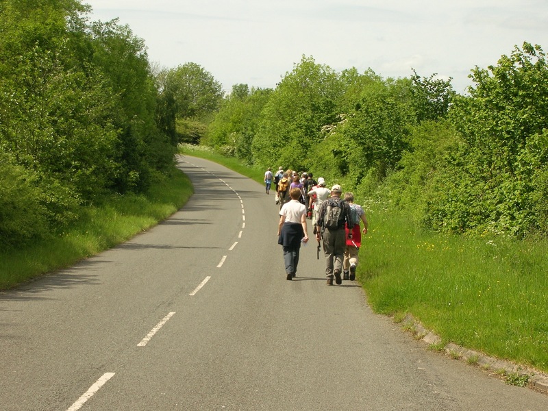
7. At road turn left (this is still the Heart of England Way), cross bridge over railway and motorway, and follow road to Lowsonford. Although this road is not very busy it does get narrow in parts and walkers should walk in single file facing oncoming traffic.
8. Having crossed the bridge over the Stratford on Avon Canal, the main road through Lowsonford is reached. Cross this road and continue to follow signs for the Heart of England Way.
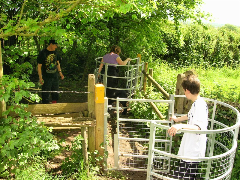
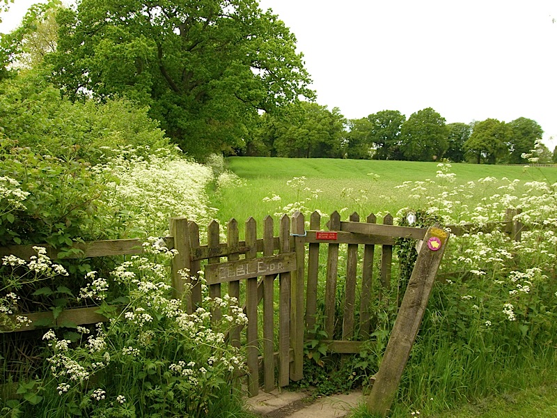
9. Cross stile on right, near the top of a slight rise, and walk across field to stile into 2nd field. Enter 2nd field and walk uphill to reach a further stile to the left of the remains of an old railway bridge. Cross stile and turn right over 'bridge'.
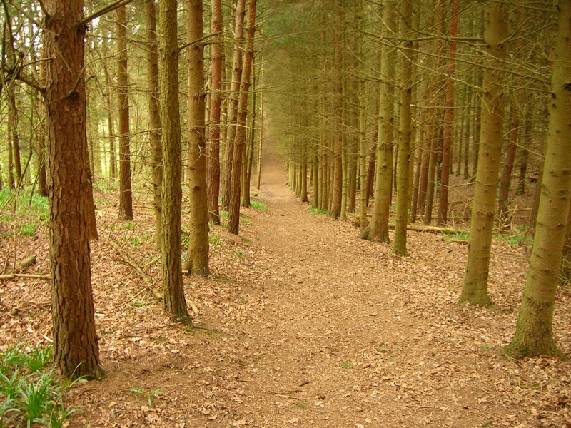
10. Go through kissing gate, turn left and go through 2nd kissing gate and take ascending path with woodland on left. Soon after top of ascent is reached path enters woodland.
11. On leaving woodland the path veers right and soon a metal farm gate is reached, At this point the route leaves the Heart of England Way, so do not go through gate but walk uphill on obvious farm track (Public Bridleway). There are some very good views from top of this hill.

12. Continue along track passing cream coloured house on left, before joining more substantial track which is followed, passing a barn and house on right, until lane (Bushwood Lane) is reached.
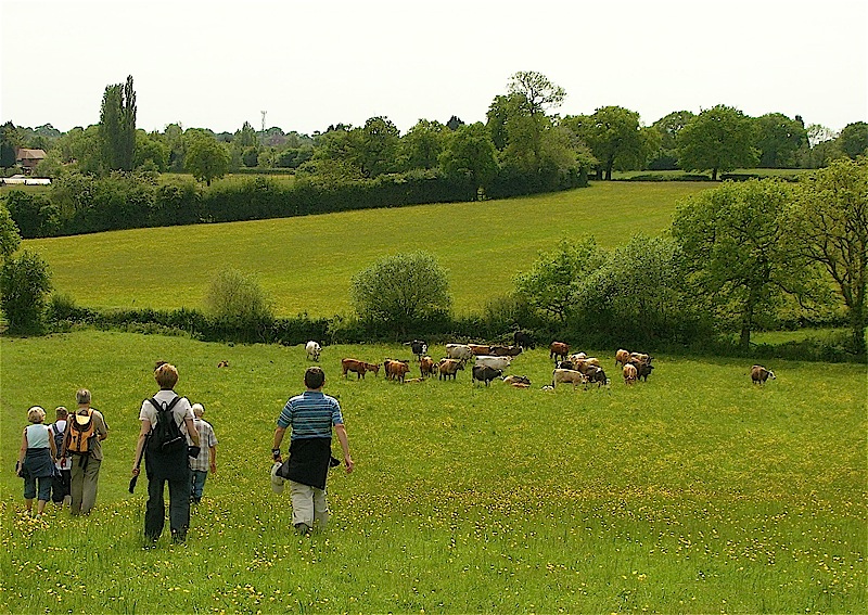
13. At lane turn right. At junction turn left in the direction of Lapworth. Soon after road bends left look for 2 footpaths on right. Ignore the 1st (right of way) and take the 2nd - Unclassified County Road – which at this point is quite narrow.
The part of the route, from taking the ‘unclassified road’ to the canal was, in parts, wet and very muddy following the rainfall earlier in the week.
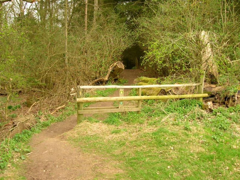
14. At yellow finger post continue ahead (left) on track which goes under the motorway before entering a conservation area.
15. At junction of three tracks take track on right (signposted as Unclassified County Road) which is followed until the Stratford on Avon Canal is reached. Cross bridge and turn left and follow canal back to Kingswood Junction before retracing steps back to Lapworth Village Hall.

To see a copy of the morning route that can be easily printed click here
-o-O-o-
Afternoon route visiting Packwood House
and Lapworth Village Church
Approximate Distance – 5.5 miles.
1. Leave Lapworth Village Hall and follow the road right. Cross the canal, go under the railway bridge and soon after turn left into Station Lane.
2. Follow Station Lane/Road past Lapworth Railway Station and continue until a T junction is reached. At T junction turn left, cross railway bridge (Take care on this section of the walk as there is some road walking)
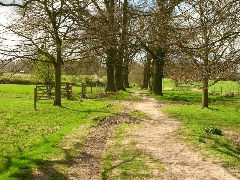
3. Immediately after crossing railway bridge enter drive on right signposted Millennium Way and Train & Trek. Follow drive and just before large house is reached take footpath on right which goes anti clockwise around the property. When a further drive/track is reached turn right and take footpath immediately on left. Follow this footpath, with hedge on left, until road is reached.
4. At road go right and within about 150 metres turn left off road onto a footpath between an avenue of trees which leads to Packwood House. (signposted as being National Trust Land)

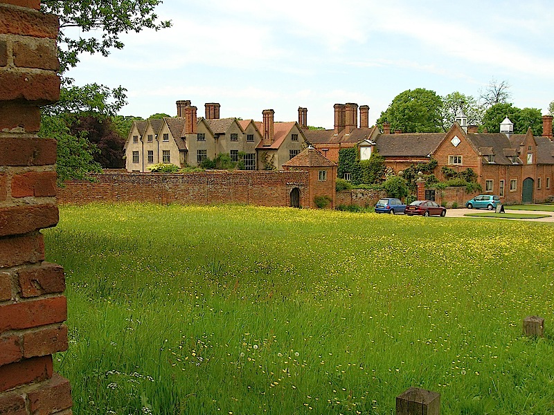
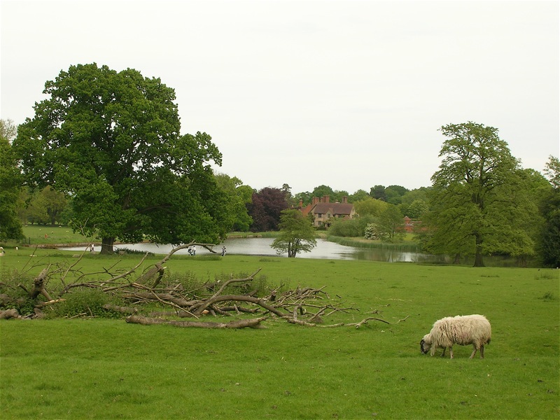
 5. When road at Packwood House is reached turn left and walk to road junction. At road junction take path on right and follow it, initially between house and pond before entering National Trust Land. Continue to follow path until road is reached. (Note view of the lake behind Packwood House before road is reached.)
 6. On reaching road follow drive opposite which leads towards Malt House Farm but before farm is reached turn left at footpath sign. Within a few metres cross stile and turn left, soon passing pond on left before entering a 2nd field prior to reaching main road between Kingswood and Hockley Heath.
7. Turn left at road and soon after take track on right which leads to canal which at this point is parallel to road. Cross the canal at 'draw bridge' and follow drive to Drawbridge Farm. Follow path through farm yard and into field – signposted as Millennium Way.

8. Enter 2nd field and follow track down hill to left hand corner of field. Enter 3rd field (hedge on left and wire fence on right) and follow track into 4th field (Pond on right just inside 4th field).
9. Follow hedge on left until large gap in hedge is reached (with gate and stile on other side of brook). Cross brook and walk uphill towards Lapworth Church.(Still signposted Millennium Way)
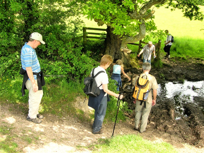
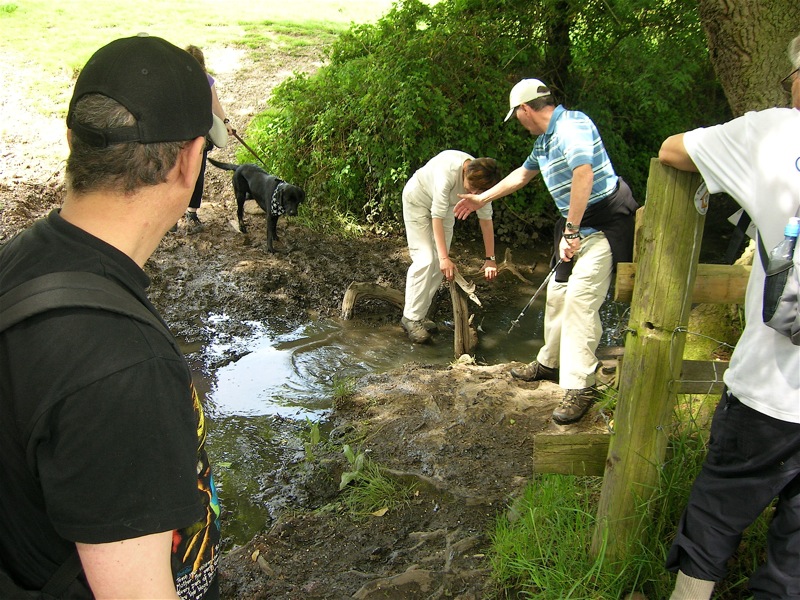
Because of the rain earlier in the week the brook
crossing was more difficult than expected.
10. When road is reached take footpath through churchyard and on exiting churchyard cross lane and follow public footpath path downhill, passing pond on right. Route then goes uphill through field and enters a 2nd field, before crossing Sports Field (Lapworth Cricket Club).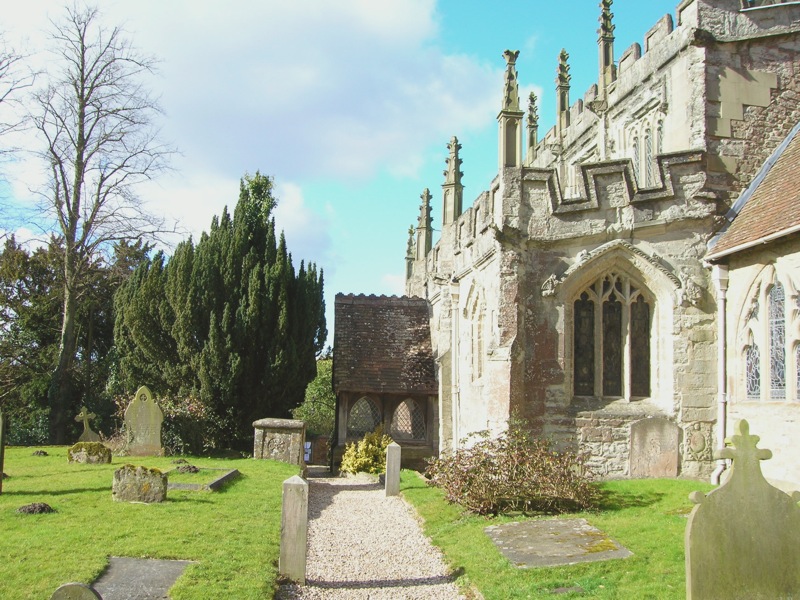


 11. Exit sports field via gateway about 10 metres to right of pavilion and enter field. Path is followed into 2nd field before Kingswood to Hockley Heath Road is reached near canal bridge.
12. Turn right (away from canal) and follow this road back to the Lapworth Village Hall.
To see a copy of the above afternoon route that can be easily printed click here
I’m sure everyone who took part in this sponsored walk enjoyed the experience which was certainly helped by the excellent weather and varied scenery. Needless to say a big thank you must go to Lin and Joan for the much appreciated refreshments and to Jeff for arranging the venue etc.
Cancer Research Walks Main Page.
Lapworth (Kingswood) Walks Main Page
Top of Page