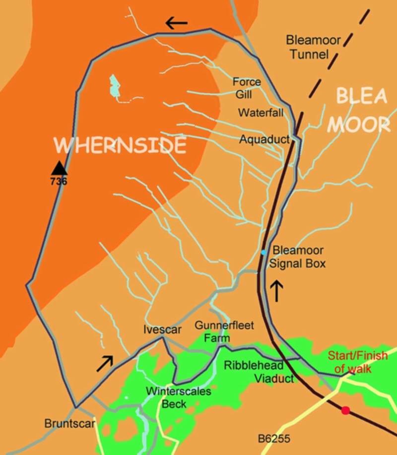
The Ascent of Whernside
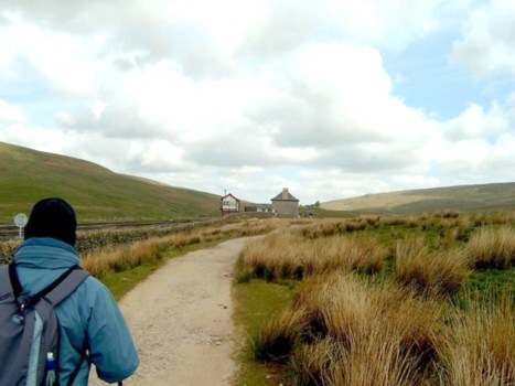
Besides my wife Anne, today we were accompanied by our friend Anne, who is lucky enough to live and work in the beautiful Dales area..
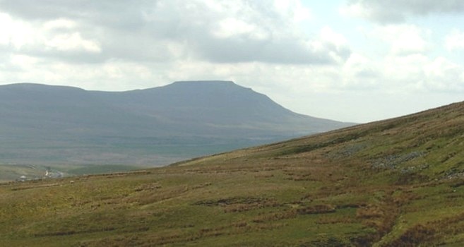
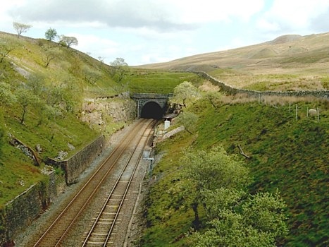
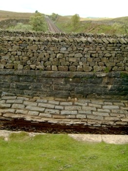
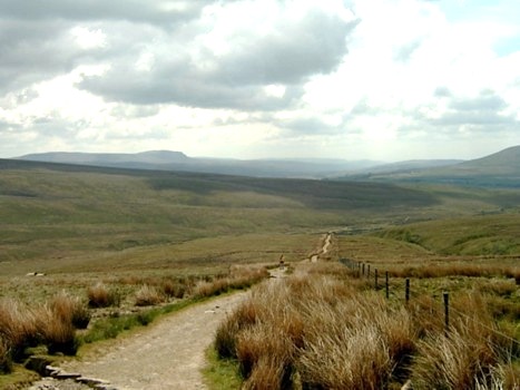
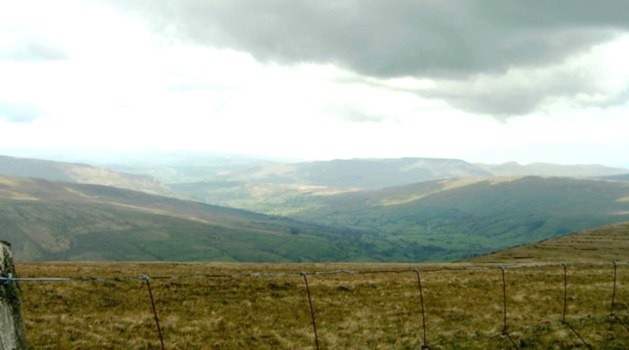
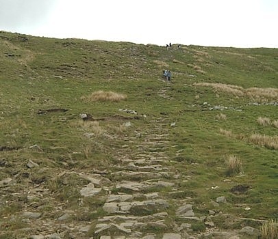
Having crossed the railway, the route started to get steeper as we climbed up the hillside with Force Gill on our left. Soon after we were treated to a view of what would have been a very impressive waterfall but, as there had been very little rainfall in the previous week, today it was no more than a trickle. I was expecting to see more waterfalls but I suppose because of the lack of rain, which according to friend Anne was unusual in this area, most of these potential torrents had vanished. However, although the water features were minimal we were able to look back and see views of both Pen-y-Ghent and Ingleborough.Looking across the side of Whernside to Ingleborough
The path is very obvious and well maintained and although I had a map with me this was surplus to requirements. I also had my GPS, and although it assisted navigation, it was primarily used for giving our height up the mountain and our distance from the top.
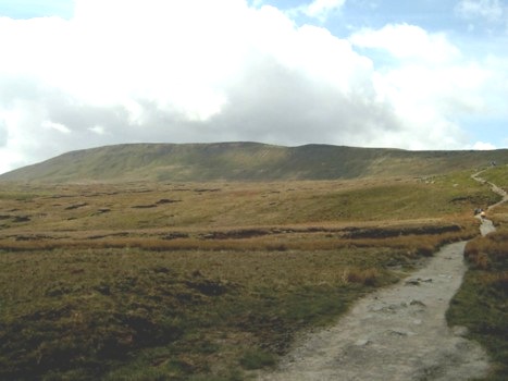
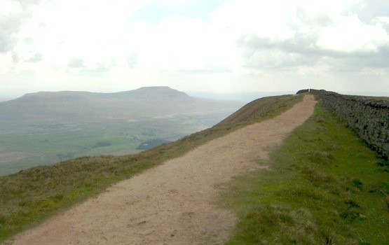
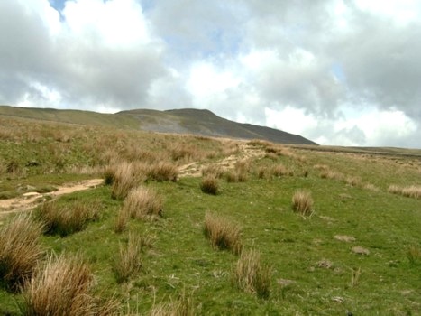
The steepest part of the climb was the last 100 or so metres to the Whernside Ridge and once this was reached it was then a very pleasant uphill stroll to the top of this “peak” although we did stop to admire the views of Dent Dale to the north and we were able to spot the Arten Gill Viaduct, a mile or so north of where the railway exits the tunnel under Blea Moor, and Great Knoutberry Hill beyond.
More views ascending Whernside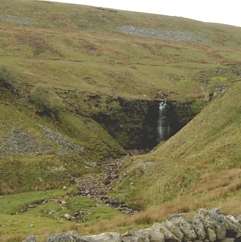

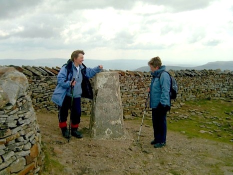
Lunch was spent in a little sheltered area to the west side of the wall that goes north to south along the ridge. However, as we left I was told by one of the "Annes" we would have been better to have used the shelter on the eastern side, which, besides being in the sun, gave views of Pen-y-Ghent and Ingleborough. Damn, I never noticed this as we reached the top.
(Anne Note – not as I remembered it. I told him we should stop there when we reached the top, but he took no notice)
The top of Whernside and Lunch
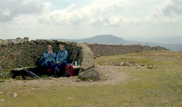
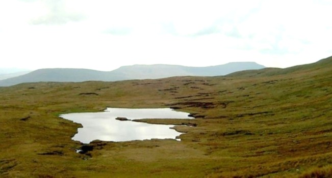
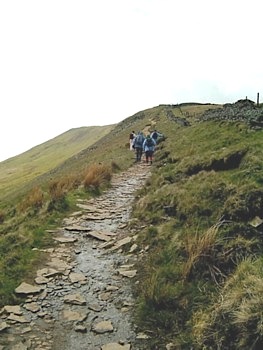
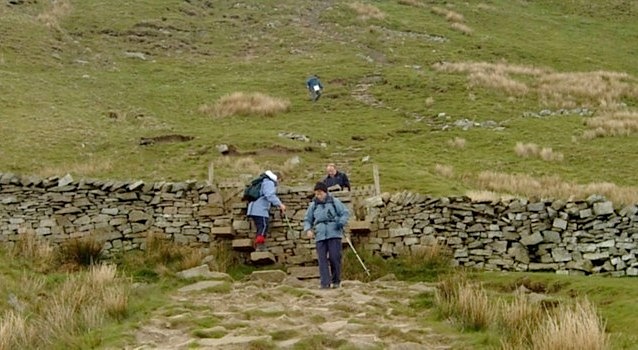
Initially the way down was a very gentle southwards stroll along the ridge, but just before we turned left (south east) the descent became steeper. Therefore, we, like a group of other walkers we passed, were pleased we had walking poles. Having turned left the descent became even more steep and tricky - we probably could have ascended this rocky path quicker than we descended it. I think we were all relieved to reach the wall and stile at the base of this downward "bit" as once over the stile the slope became gentler.
Views on the first part of the descent.


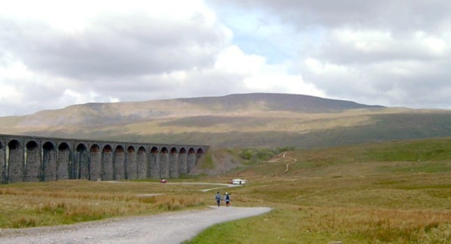
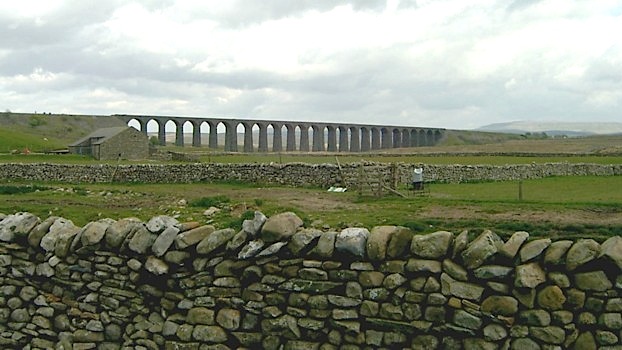
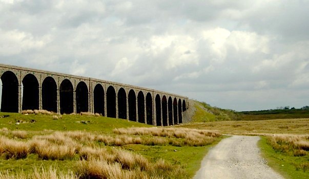
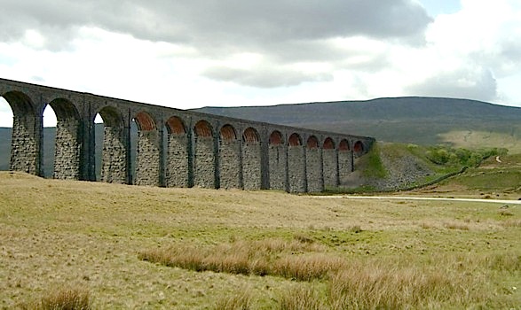
This part of the walk was really pleasant. An easy down hill stroll with particularly good views of Ingleborough and the almost ever present Ribblehead ViaductLooking down to the Ribblehead Viaduct
At the bottom of this slope (Grid ref 7390079070*) we crossed a stile and did a left turn going north east across meadow land towards a farm at Ivescar (Grid ref 7475079750*). On reaching it we did a right turn and headed south east passing through a field of cows, which included a bull which at one point was directly in our path. Fortunately, with rest of the herd, it moved out of our way and we proceeded swiftly, probably the fastest we had walked all day, to safety on the other side of a gate. We were now at Winterscales Beck, the downstream name for Force Gill. Here it was necessary to just check the map as there were no waymarkers or signposts. But once consulted, our path was very obvious; a tarmac track to Gunnerfleet Farm where we turned right and shortly afterwards passed under the Ribblehead Viaduct before getting back to the car.
More views descending Whernside.


I had thoroughly enjoyed the walk. The views and weather had been excellent and the "Annes" had really enjoyed it – almost 5 hours of non stop chatter over the 8 miles that the walk covered.
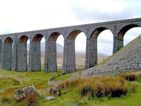
Views of the Ribblehead Viaduct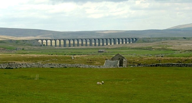

The Ordnance Survey Map that covers the area of this walk is the Explorer Map for the Yorkshire Dales – Southern and Western Areas - reference OL2.
*Please note I have used 10 figure grid references as these are the ones I use in the GPS.