The Waltham Winder - 10 mile route
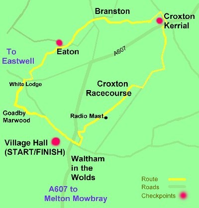
The mist, or was it fog, was still about when, after a brief résumé of some of the route details etc. was given by the starter, he sounded his air horn and at 9.16 am we were on our way – we actually should have started at 9.15 but what’s a minute when you are going to be walking for between 3 and 4 hours.
Ready for the "Off"
Having left the car park of the Village Hall our route went right to cross the A607. After about 100 metres we went left to follow a road back to the A607 where we immediately went right over a field towards the radio mast adjacent to the Horse Racing Track.
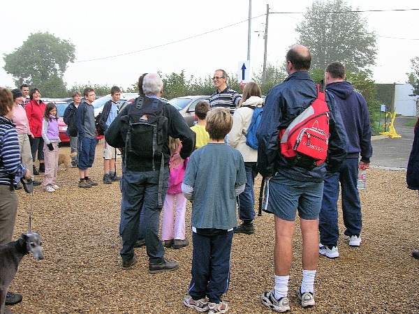
I think we were very fortunate that the previous couple of days had been devoid of rain as walking over the field after a good soaking would have been difficult; the additional weight of Leicestershire loam stuck to boots would have been inevitable.
Crossing the field on the way to the radio mast and Croxton Racecourse.
We passed by the radio mast and, soon after, I turned to take a picture of it but it had vanished in the mist. Some weather reports said the sun would come out soon after 9 o’clock, but where was it? As we walked on the soft surface of the Croxton Racecourse it continued to elude us as it did, with minor exceptions, during the rest of the walk.
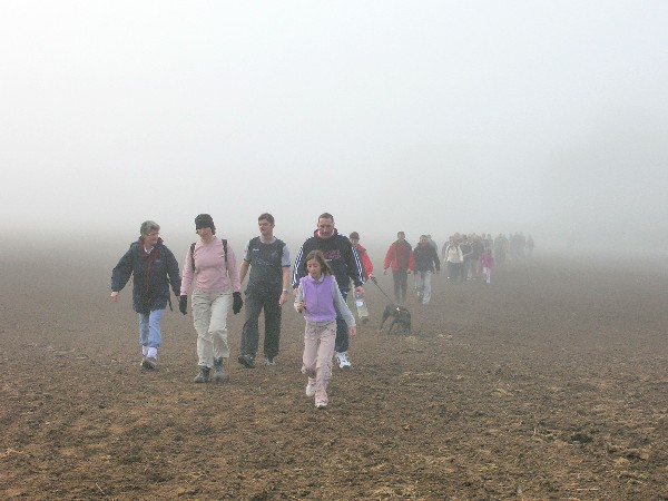
Walking along Mary Lane.
Having left the race course we soon reached the harder surface of Mary Lane which was certainly easier to walk on. However, this ‘enjoyment’ was short lived after we left the lane to follow a narrow path as our route went westwards. This was one of the few times when I regretted not having a walking pole with me as the surface was very muddy and slippery. It was therefore a relief to turn left off this path and follow the route along field headlands to the first checkpoint at Croxton Kerrial.
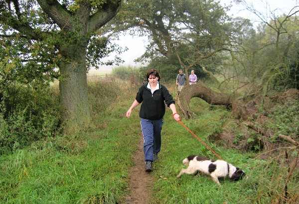
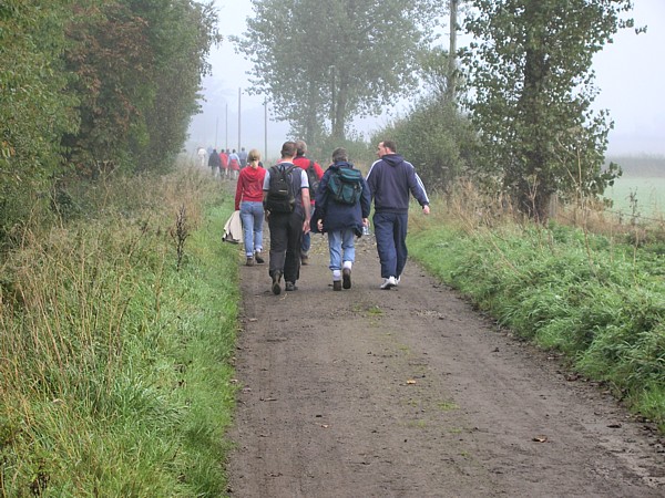
Keeping a dog under control on the muddy and slippy path after Mary Lane.
The Waltham Winder is probably the only walk you should never do if you are on a diet, as the likelihood is that you will weigh more when you’ve completed the walk than you did at the beginning. Being aware of this I had only a very light breakfast and was therefore in a good position to enjoy the refreshments at Croxton Kerrial. Both Mick and I agree that the Chocolate “things” with a hint of nut were delicious.
We left the checkpoint at 10.25 and, as we reckoned that this checkpoint was a good 3 miles from the start, we were pleased with our progress.
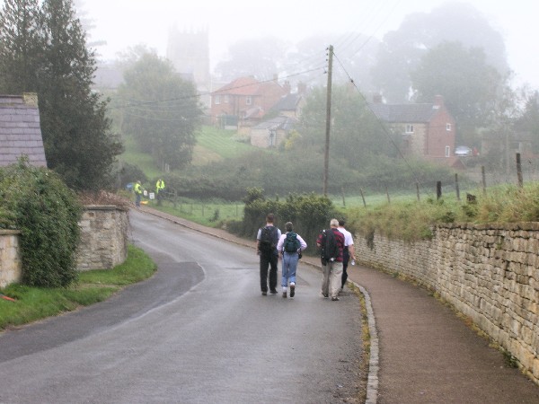
Walking down School Lane before turning left into Chapel Lane.
Having re-crossed the A607 our route, which with the exception of the mile or so between Branston and Eaton follows the 16 mile trek, we followed School Lane before going left down Chapel Lane. This bit was different to the 2004 route when we missed these two lanes and followed a very muddy path to the southwest of the village.
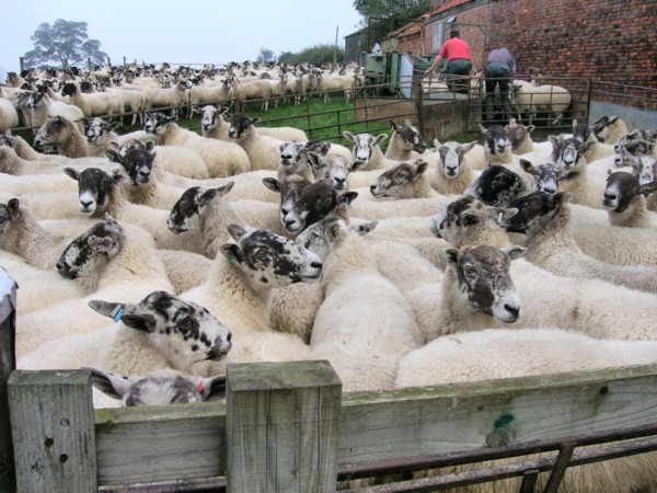
Sheep at Town End Farm.
At the end of Chapel Lane, having passed a flock of sheep in the process of being dipped at Town End Farm, we met up with the route I’d walked in 2004. And then, phew, we got a whiff of the rather unsavoury pong emanating from the local sewage works. So we very quickly walked on along the track towards Branston.
At the T Junction in Branston we turned right along the Main Road and soon after Mick posed for his picture to be taken outside of the Wheel Inn. I think he would have liked to have gone inside but it was not yet 11 o’clock so we continued on through the pub’s car park and followed the obvious path towards Eaton.
Mick, outside the Wheel Inn in Branston.
Two or three minutes later Mick told me to look left and there, through the mist was glimpsed the first hill of the day. Mick is of the opinion that there are no real hills in this part of the country and the main reason I like this challenge walk is because it’s generally flat. I think Mick likes the walk because of the abundant supply of Mars Bars available at every checkpoint.
Mick insisted I took a photograph of this hillside
seen on the route between Branston and Eaton.
This part of the walk we had already done the other way, when we did the Belvoir Challenge in 2005, when we had our first encounter with the “Iron Staircase” which we soon reached. Having descended it we admired the skill of a walker with a dog as she coaxed it down this obstacle before walking along the old railway track to reach the road to Eaton.
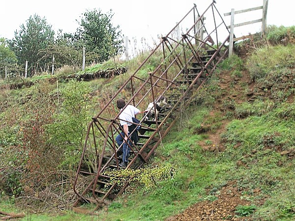
A tricky maneuver - getting a dog down the "Iron Staircase"
It was pleasant walking downhill towards Eaton, but I was less happy about the ascent into the village, but the thought of more food and a drink encouraged us, and at about 11.20 a.m. we ambled into the Village Hall checkpoint for refreshments. And very enjoyable they were too with us both sampling the mince tarts and butterfly cakes, and being particularly peckish I also enjoyed a very tasty slice of chocolate sponge.
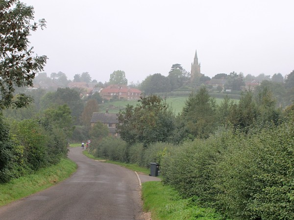
Approaching Eaton.
Having left the village we soon were went downhill through a field, then it was up hill to reach a road where marshals were stationed to point us in the right direction.
One of the marshals was obviously very interested in our eating habits and asked what cakes we’d eaten at Eaton. “Mince tarts, chocolate sponge and cakes with wings and cream” we replied – but not in unison. He was not very happy about this as this young man, a member of the local cub scout troop, had spent the previous evening making, what he considered to be a very delicious lemon cake, and from his questioning of us and other walkers it seems that very few had partaken of this treat. It sounded so delicious I was almost tempted to retrace my steps back to Eaton and try a piece, but Mick was already moving along the road towards journeys end, so I thought I’d better catch him up.
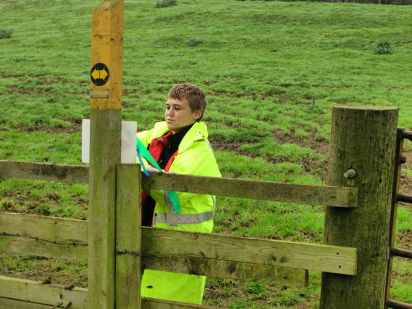
The Lemon Cake Making Marshall
We had travelled a short way along the road when we were passed by a 26 mile runner who soon, having turned right to follow the path along a field headland, vanished into the distance. Soon after, just before the “3 miles to go” sign, we were passed by two lady runners who had on their backs the largest rucksacks we had seen all day. I’m still wondering what they contained; Mars Bars?
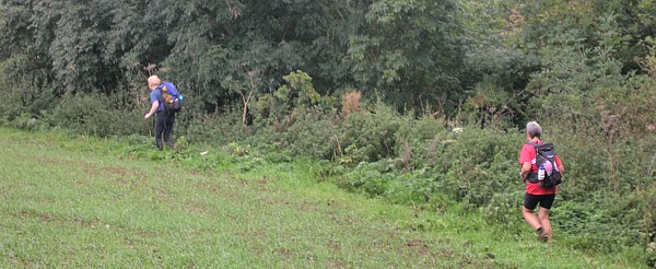
The two lady runners who passed us - But what was in the rucksacks?
More mud was negotiated where a railway bridge would have once crossed our route. Then it was up an incline, through a few more fields and soon we were on the road to the marshalled crossing point at White Lodge, and the unexpected bonus of a drink of water and another Mars Bar.

Mud by the old topless railway bridge.
The “2 Miles to go” sign was passed shortly after and five minutes later we were passing the impressive property at Goadby Marwood, which I presumed to be Marwood Hall. Soon after with the welcoming sight of the church at Waltham on the Wolds in the distance, we turned right off the road to cross a field.
The "1 mile to go" sign as we turned off the road after leaving Goadby Marwood
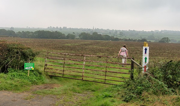
Across the field we went, over two stiles - taking care not to make contact with adjacent electrified fencing - and down a grassy track back to the road which we followed to the Village Hall and refreshments.
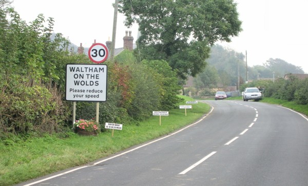
The sign amused us as, according to Mick, my speed had
been reduced since we left the Eaton Checkpoint.
The refreshment were very enjoyable. Tasty home made soup, delicious fruit pie and custard and refreshing cups of tea. The only down side was there didn’t seem to be any lemon cake!
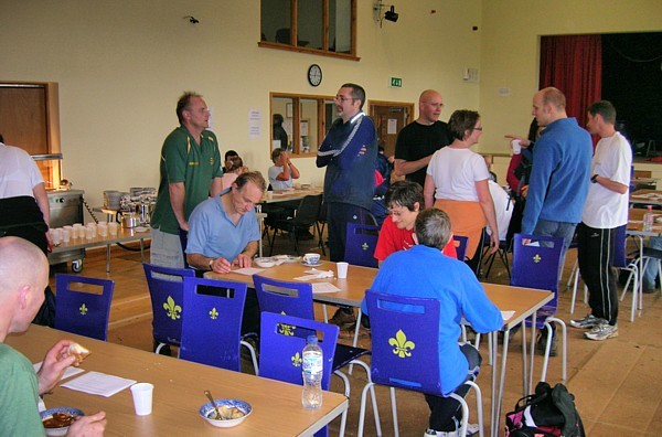
Inside Waltham Village Hall at the end of the walk.
Although the 3 hours 27 minutes it had taken us to do the walk would certainly not break any records, it had been most enjoyable.